Tbilisi Green Spaces
The World Bank and OSM
In 2018, The World Bank ran a research project with the aim to study the potential development pathways for urban green spaces in Tbilisi. The project team closely cooperated with Tbilisi Municipality. Overall, the main objective of the project was to measure the accessibility of urban green spaces, evaluate the urban parks infrastructure and identify future improvement prospects with regards to access and infrastructure quality.
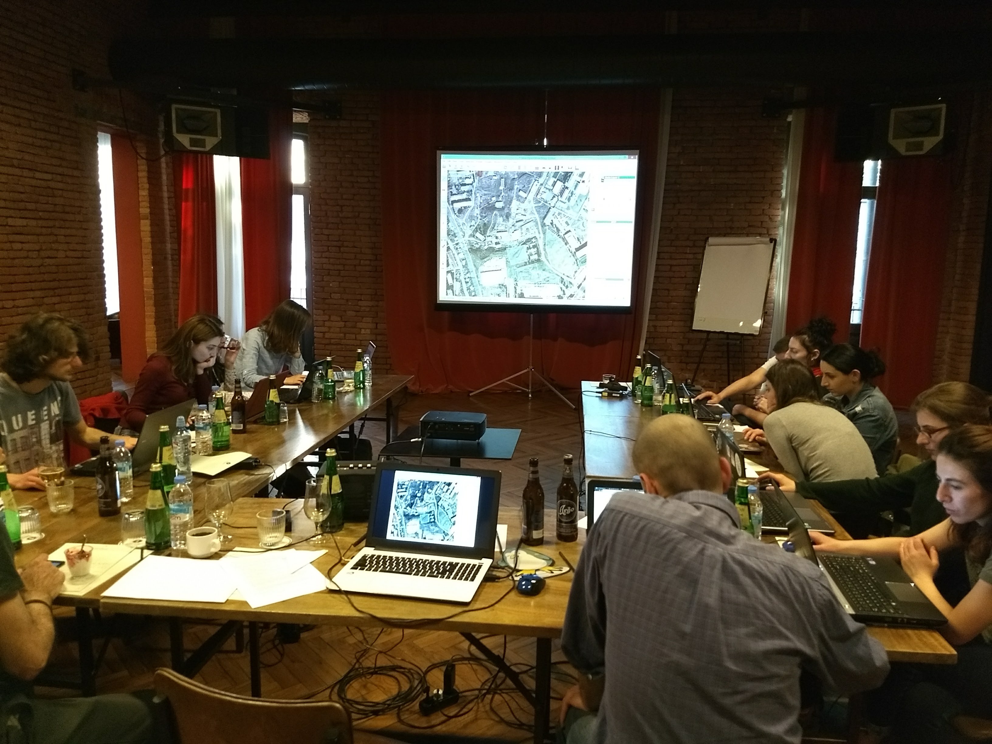
I was involved in the project as an independent national consultant in Geospatial Analysis. Within the project, I was responsible for local staff training in spatial data collection and analysis methods, data management and classification in close cooperation with the World Bank Geospatial Operations team in Washington, DC and open data application using OSM. Lastly, I was also responsible for the organization of an OSM Mapathon that gathered around 20 students from Tbilisi State University with the aim to mark green urban areas throughout the city, using their local expertise.
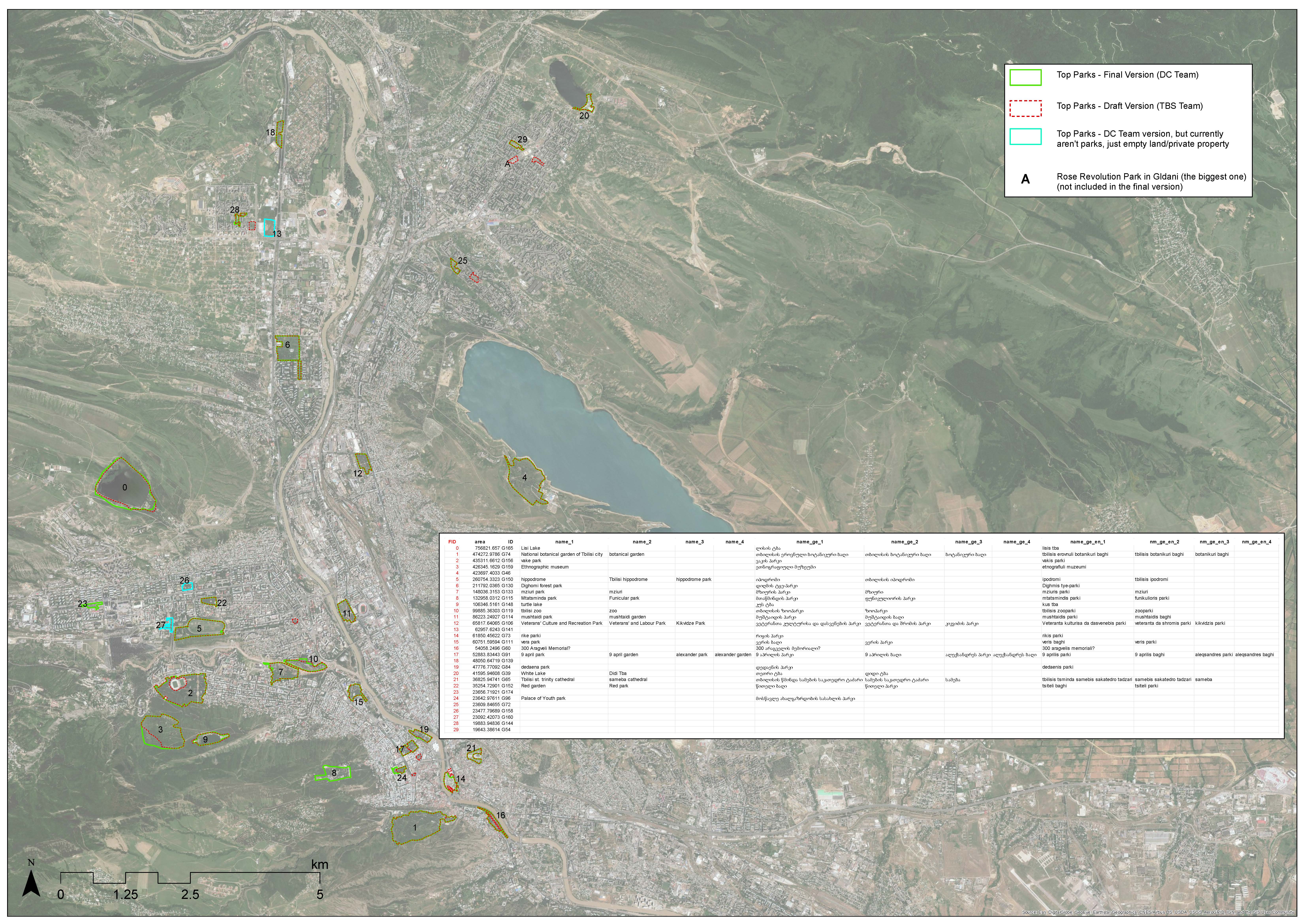
I also prepared maps for park infrastructure evaluation and inventory. Some of the visual materials are shown below.
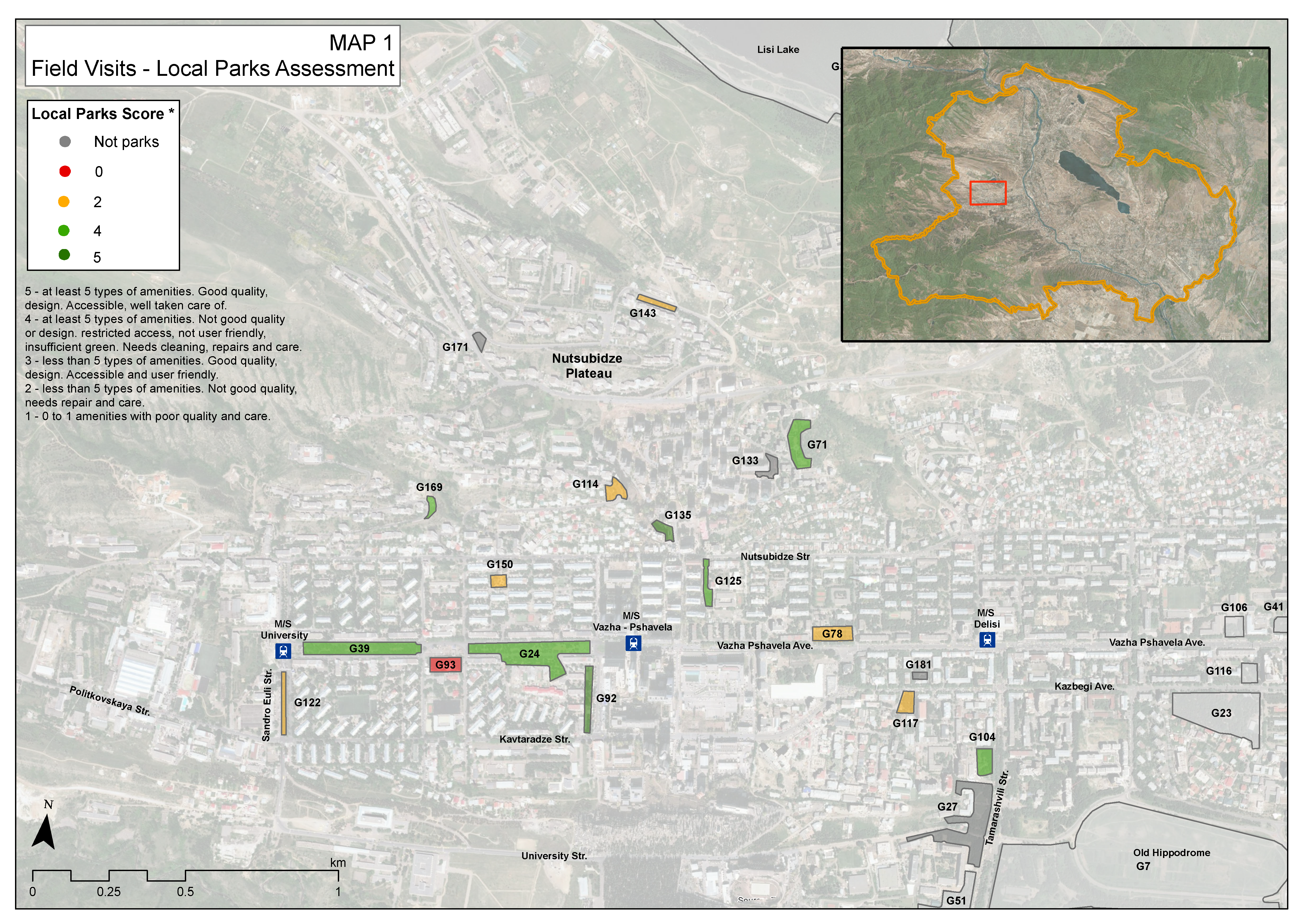
in Saburtalo
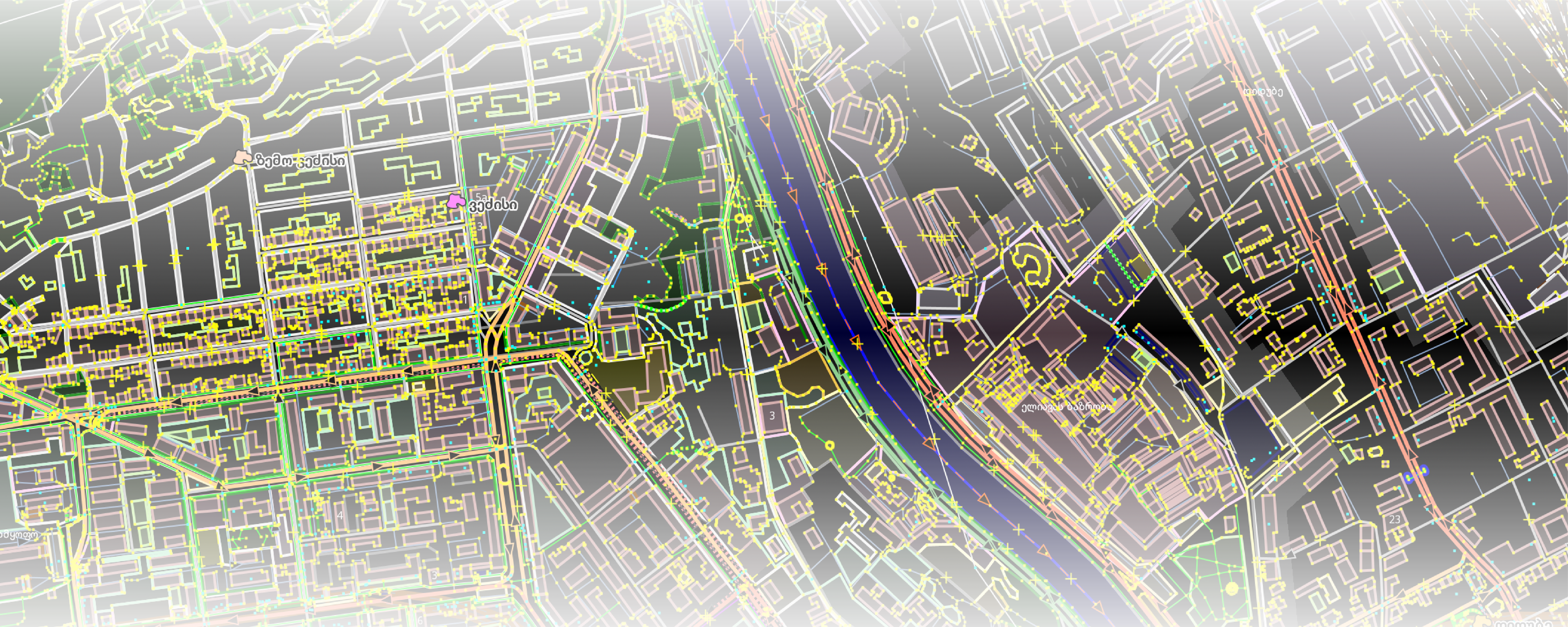
(Draft Version)
In the video below, Charles Fox, then the World Bank Geospatial Team lead speaks about the project and its implementation using OSM at the State of the Map, 2018 conference in Detroit, MI, USA
Tools Used: ArcMap, Qgis, Python, JOSMData: OSM