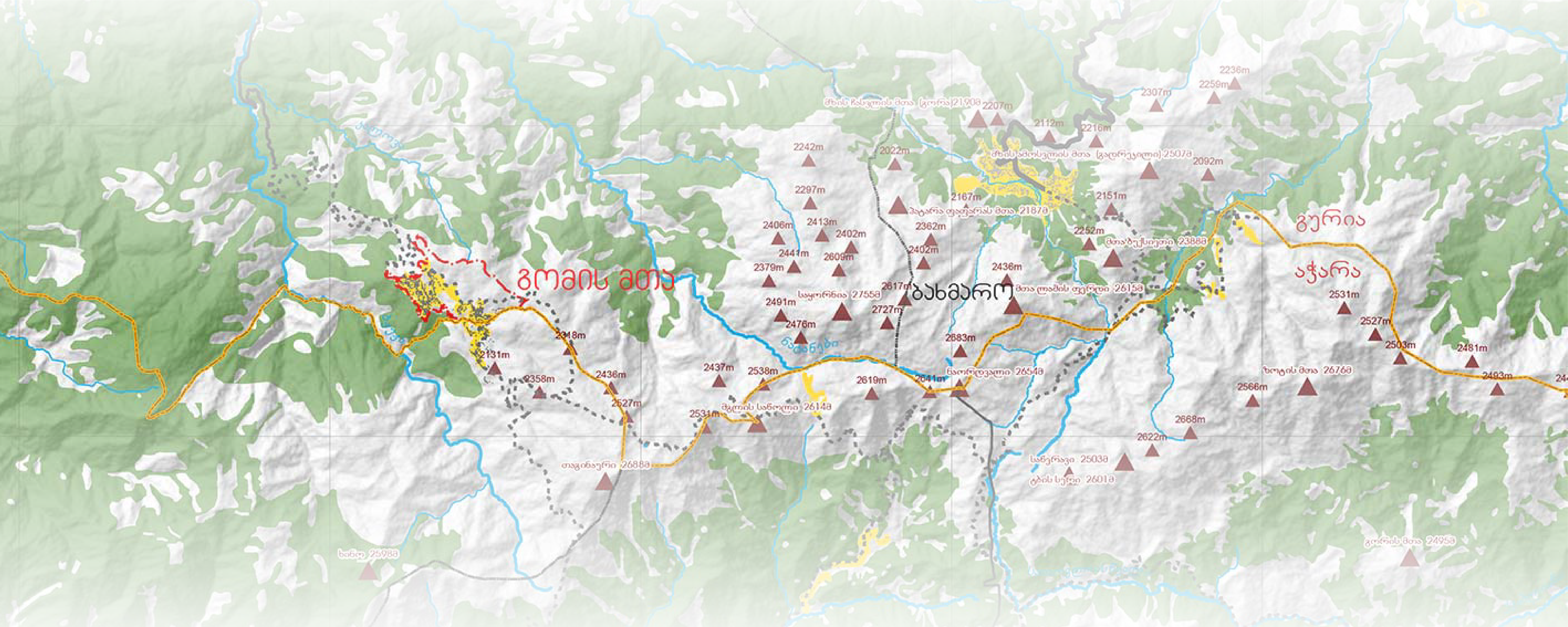
Mount Gomi
Planning Document
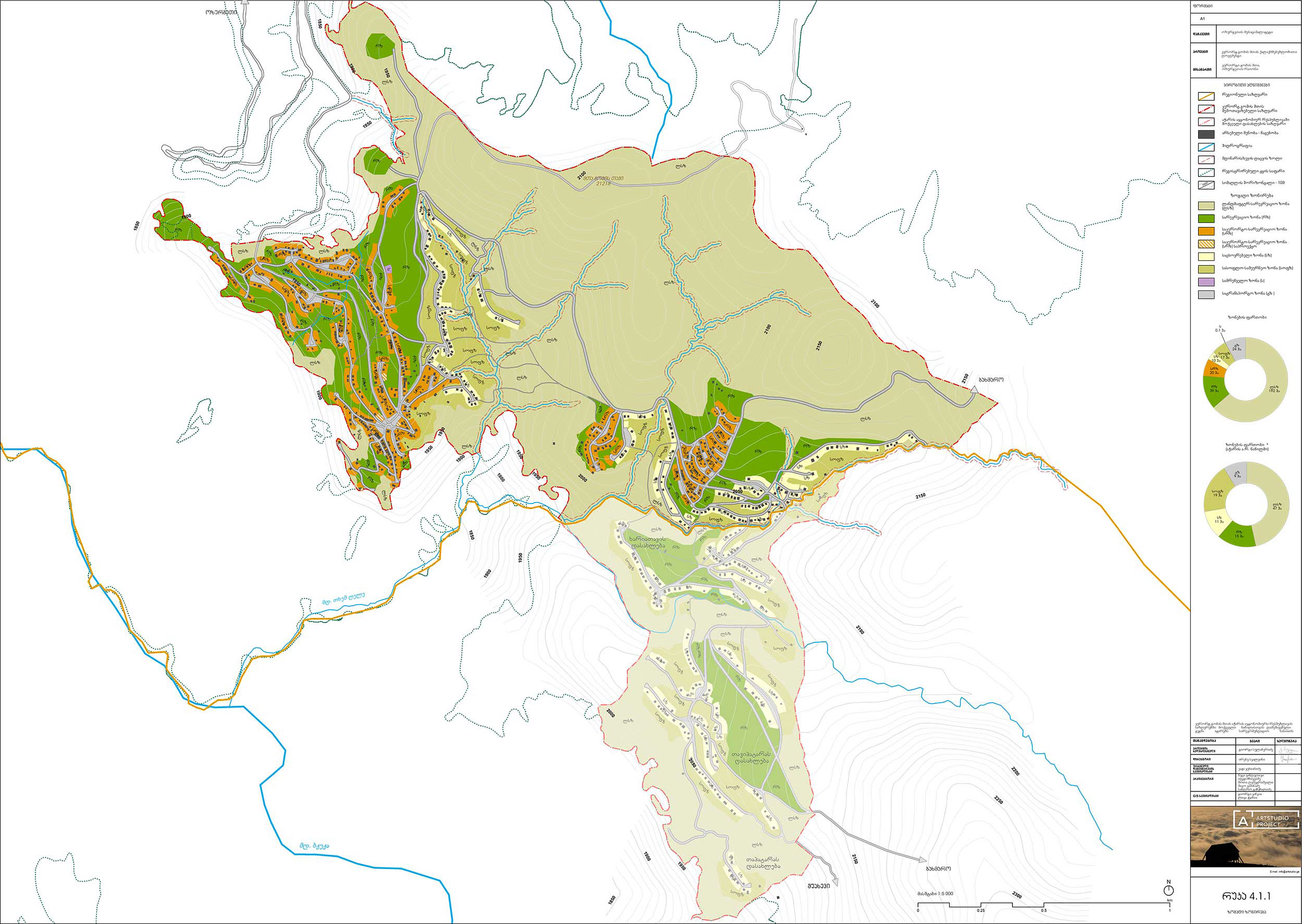
The planning document for Mount Gomi recreation area was initiated by Ozurgeti Municipality (Guria region)developed and developed by Artstudio
I was involved in the project team as a Geographer and Spatial Analyst (GIS). I led the parcel organization process which would eventually make it easier for the municipality to manage land resources in the project area in a more orderly and sustainable fashion.
Some of the visual materials from the project are given below and highlight important features of the project - mobility, environmental protection and systemic development.
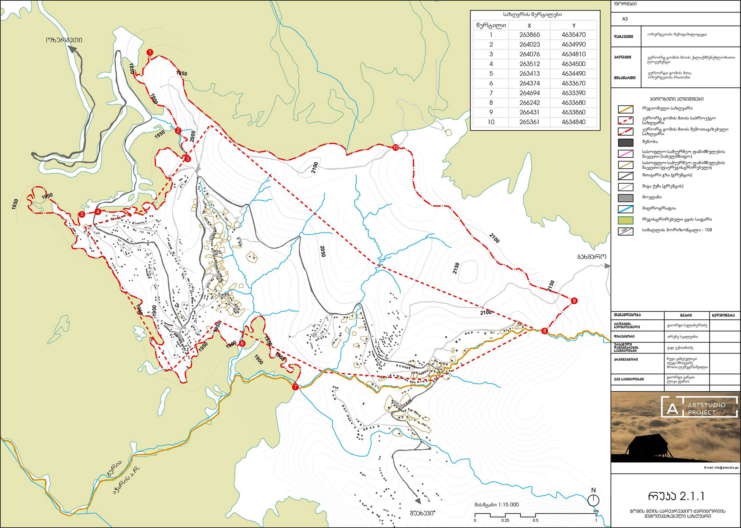
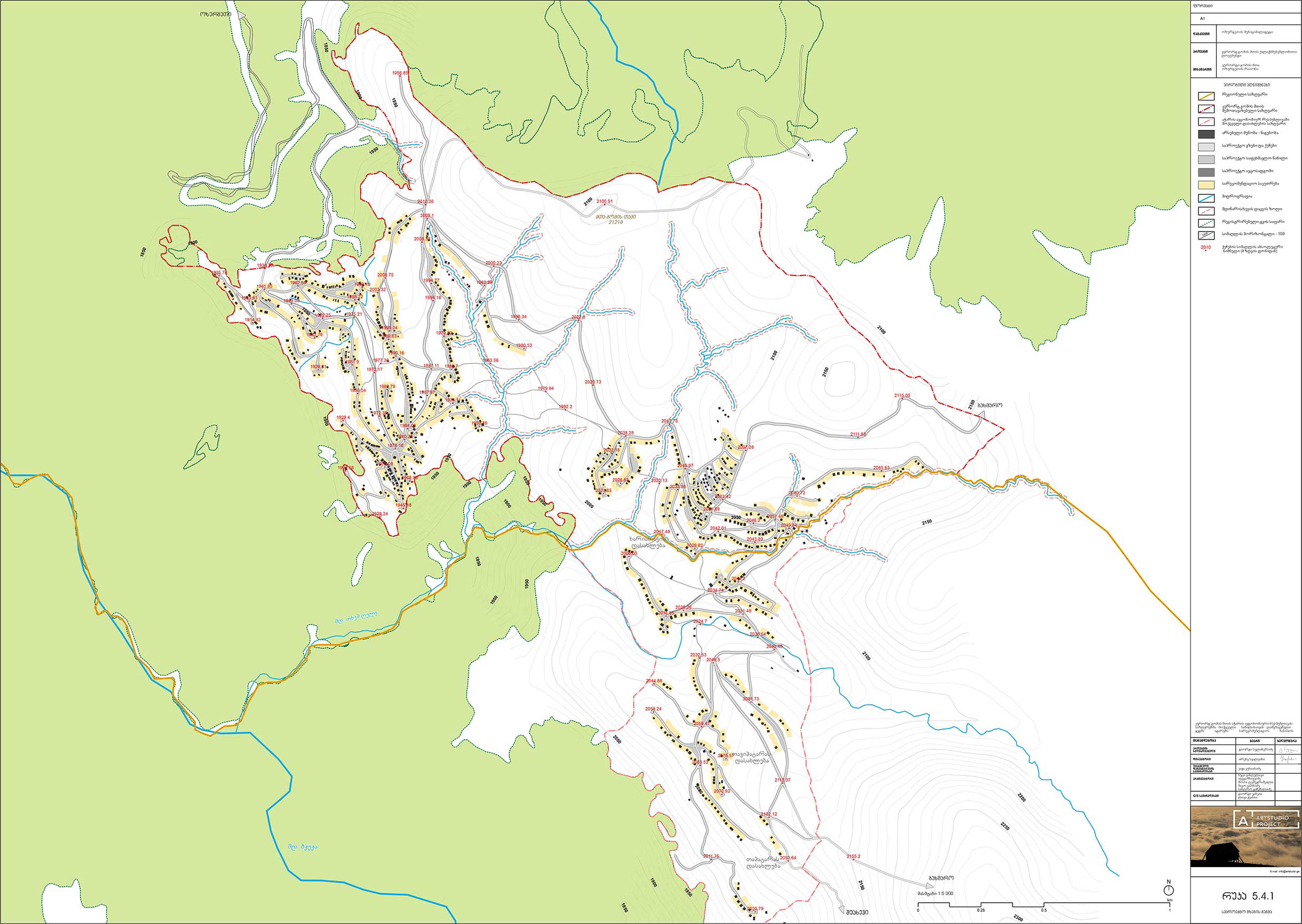
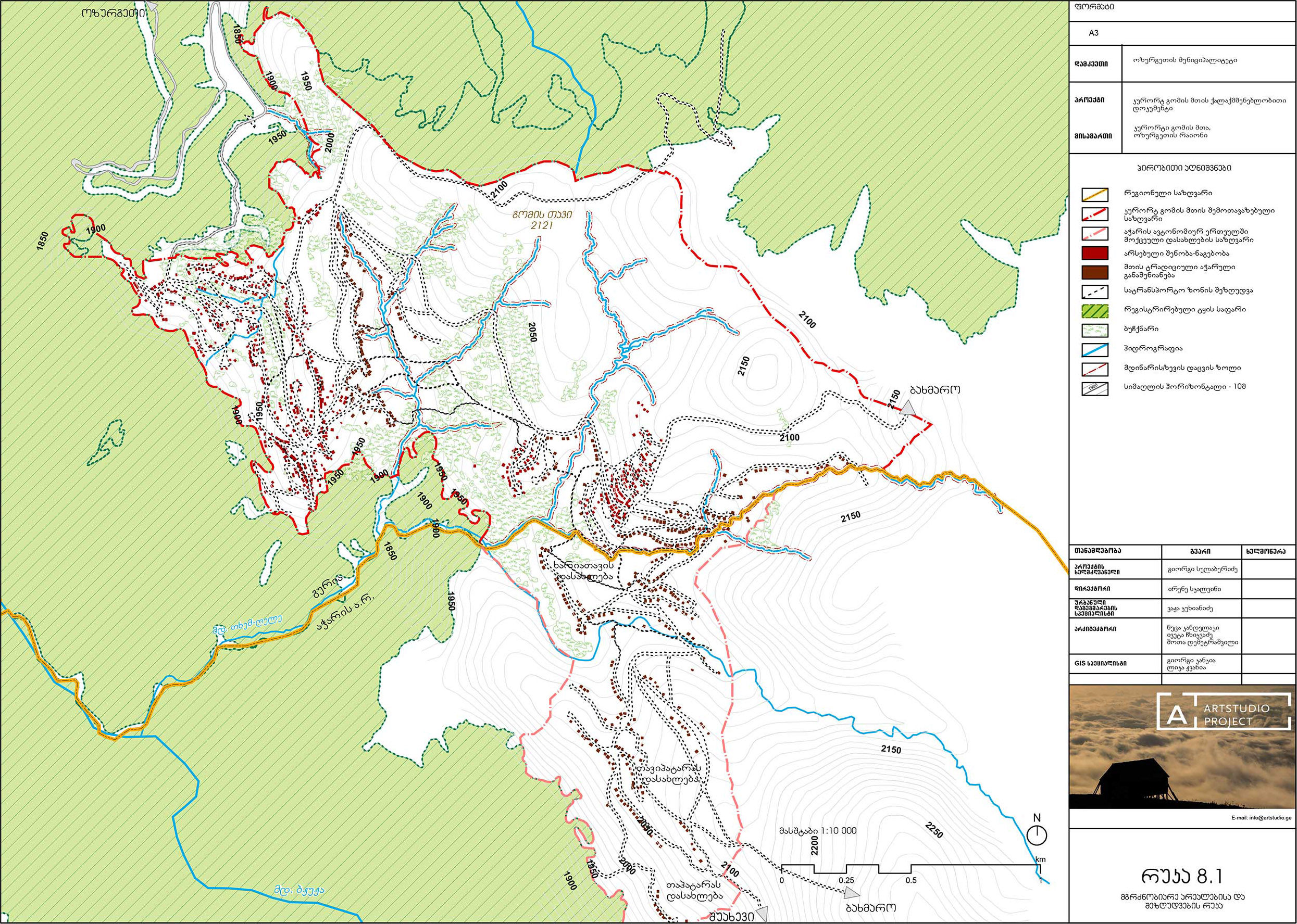
Data: Project Team