Old Topos
Relief Exaggeration and Beauty
![](/personal/old-topos/featured.png)
I rendered some of the historical maps of Georgia and its regions in 3D. There are British, French, German, US and Soviet-made vintage and topographic maps that look stunning with an exaggerated relief, clouds and lighting source.
![](/img/shaded-1-pays_du_caucase.png)
![](/img/shaded-1-kaukasus_isthmus_v3-01.png)
![](/img/shaded-1-caucasus_1900.png)
![](/img/shaded-1-eastern_georgia_with_clouds_v1.png)
![](/img/shaded-1-western_georgia_cloudy.png)
![](/img/shaded-1-us_topo_3d_tbilisi_clouds.png)
![](/img/shaded-1-geological-hd-01.png)
![](/img/shaded-1-geomorphological-hd-01.png)
![](/img/shaded-1-javakheti_topo_200k.png)
![](/img/shaded-1-javakheti_topo_100k.png)
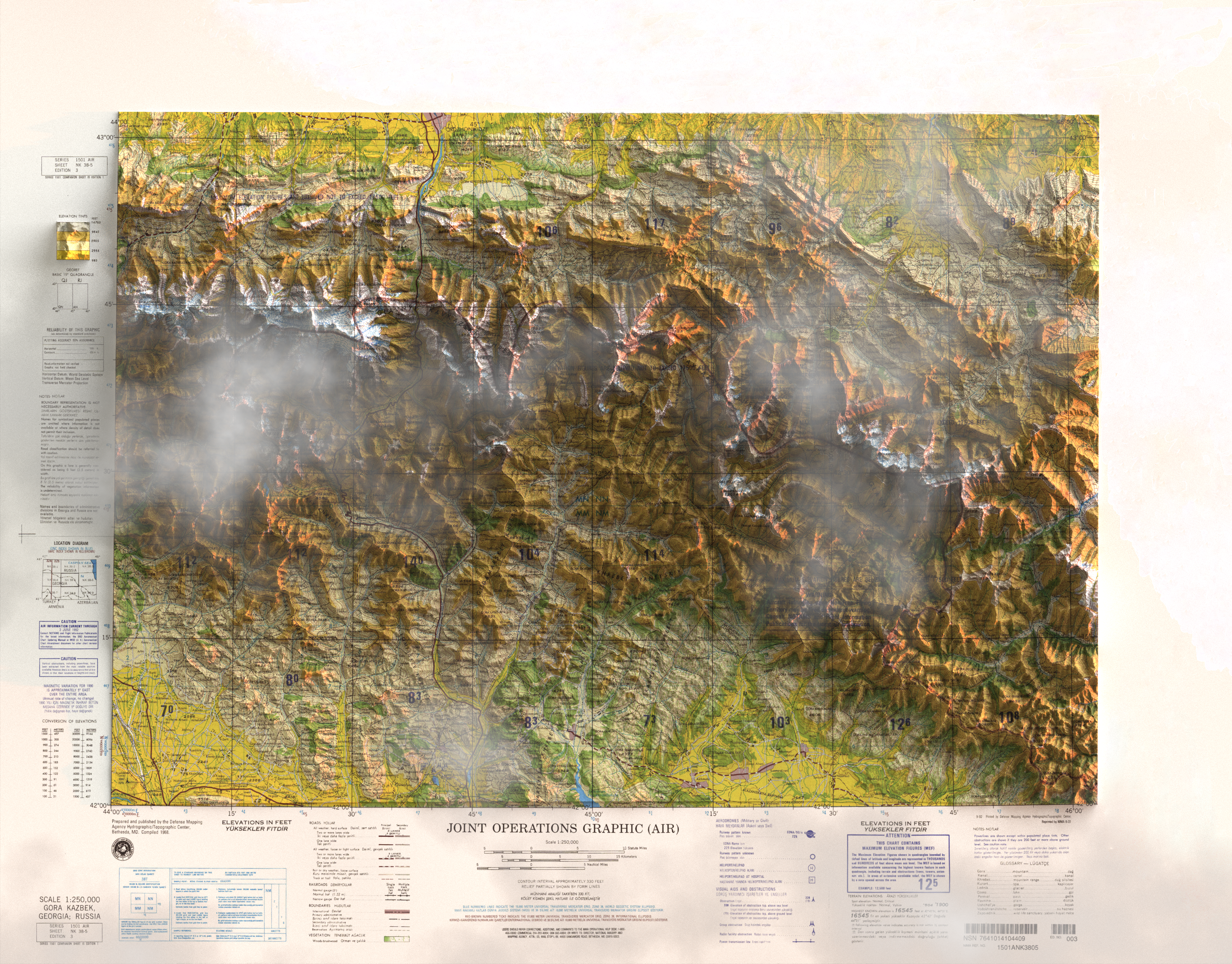
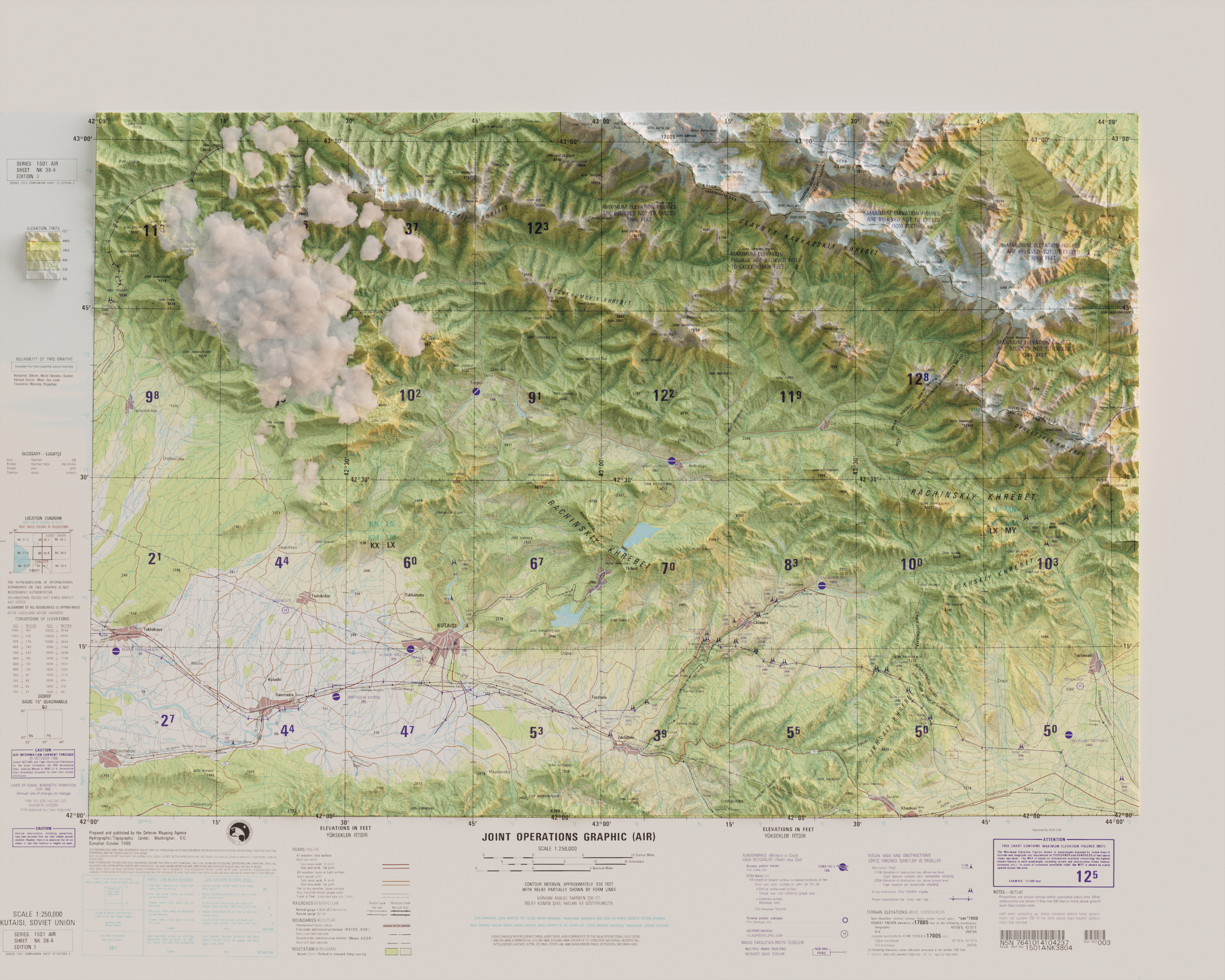
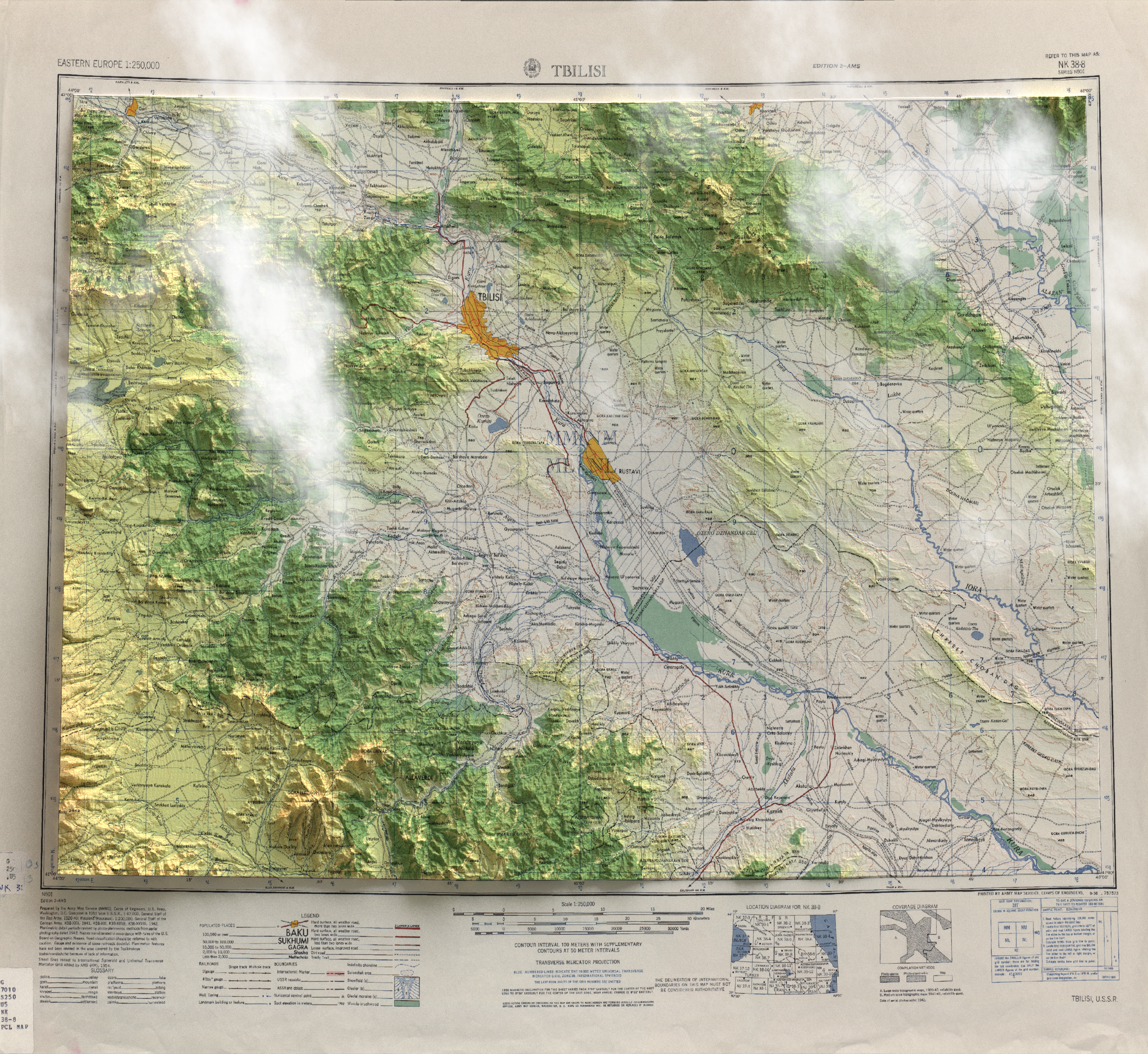
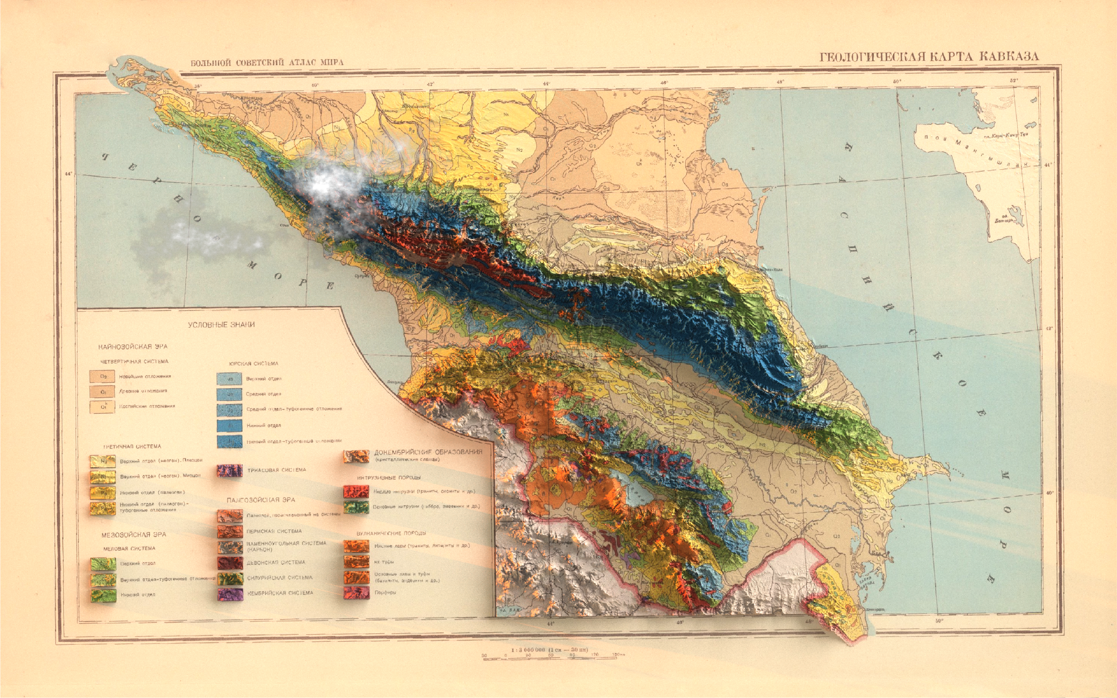
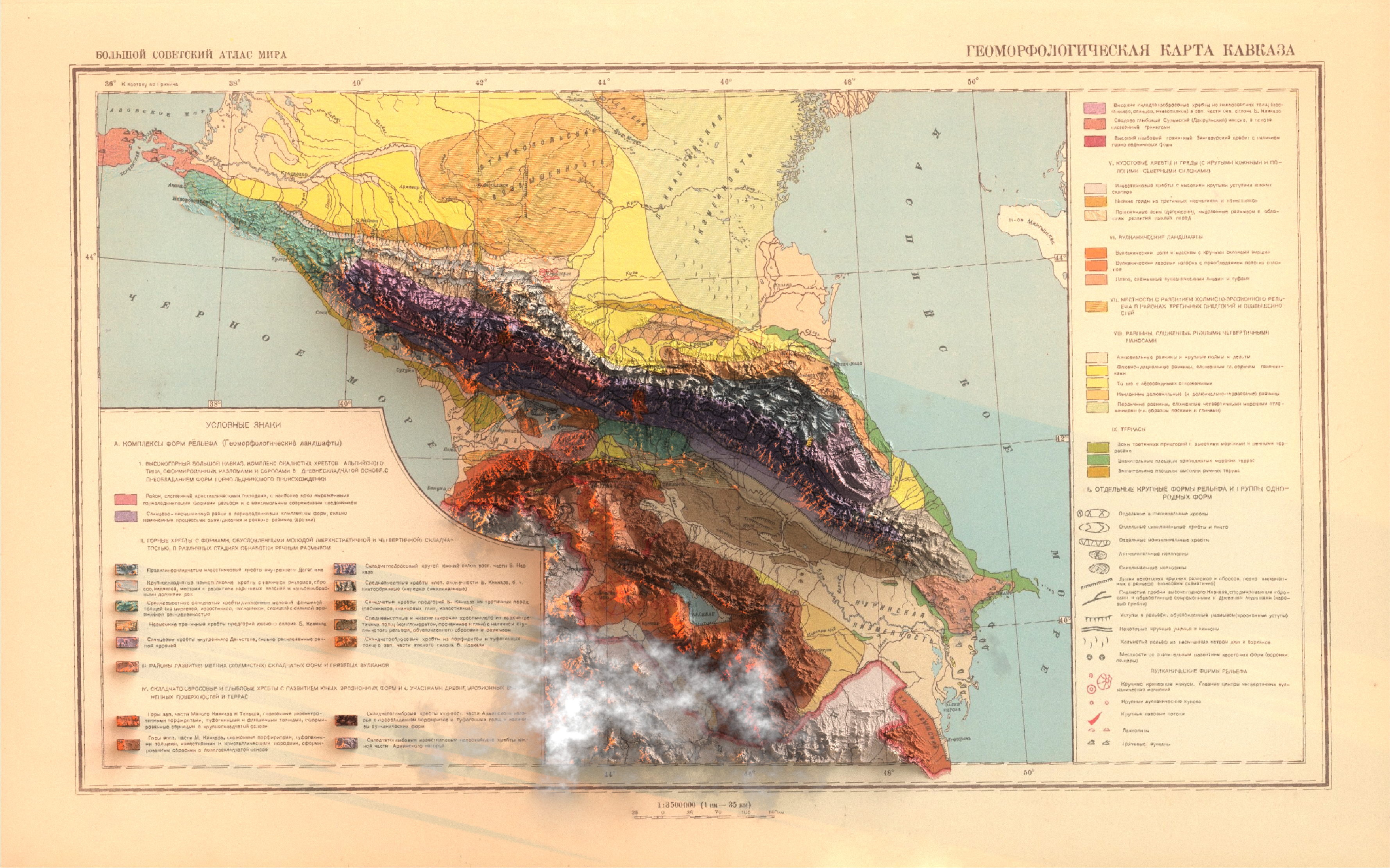
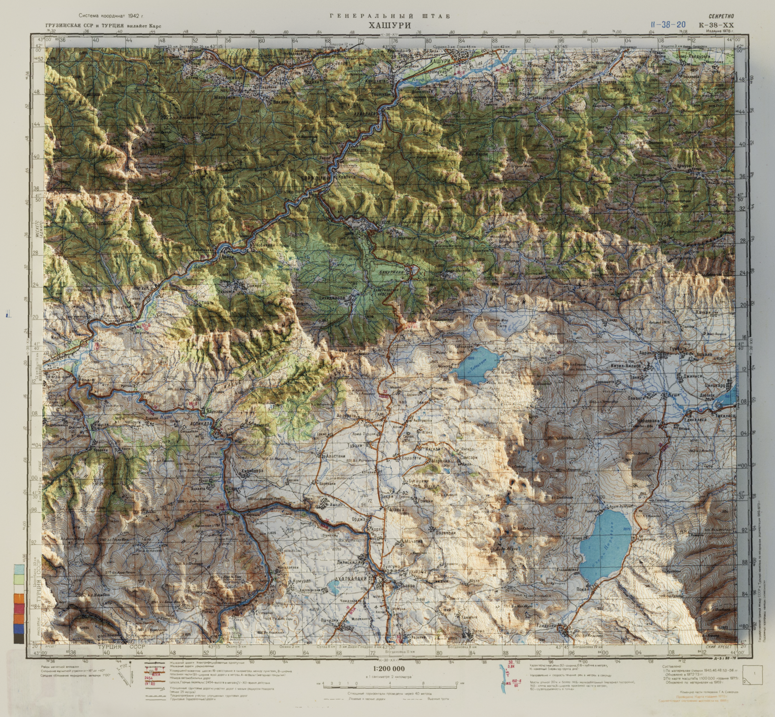
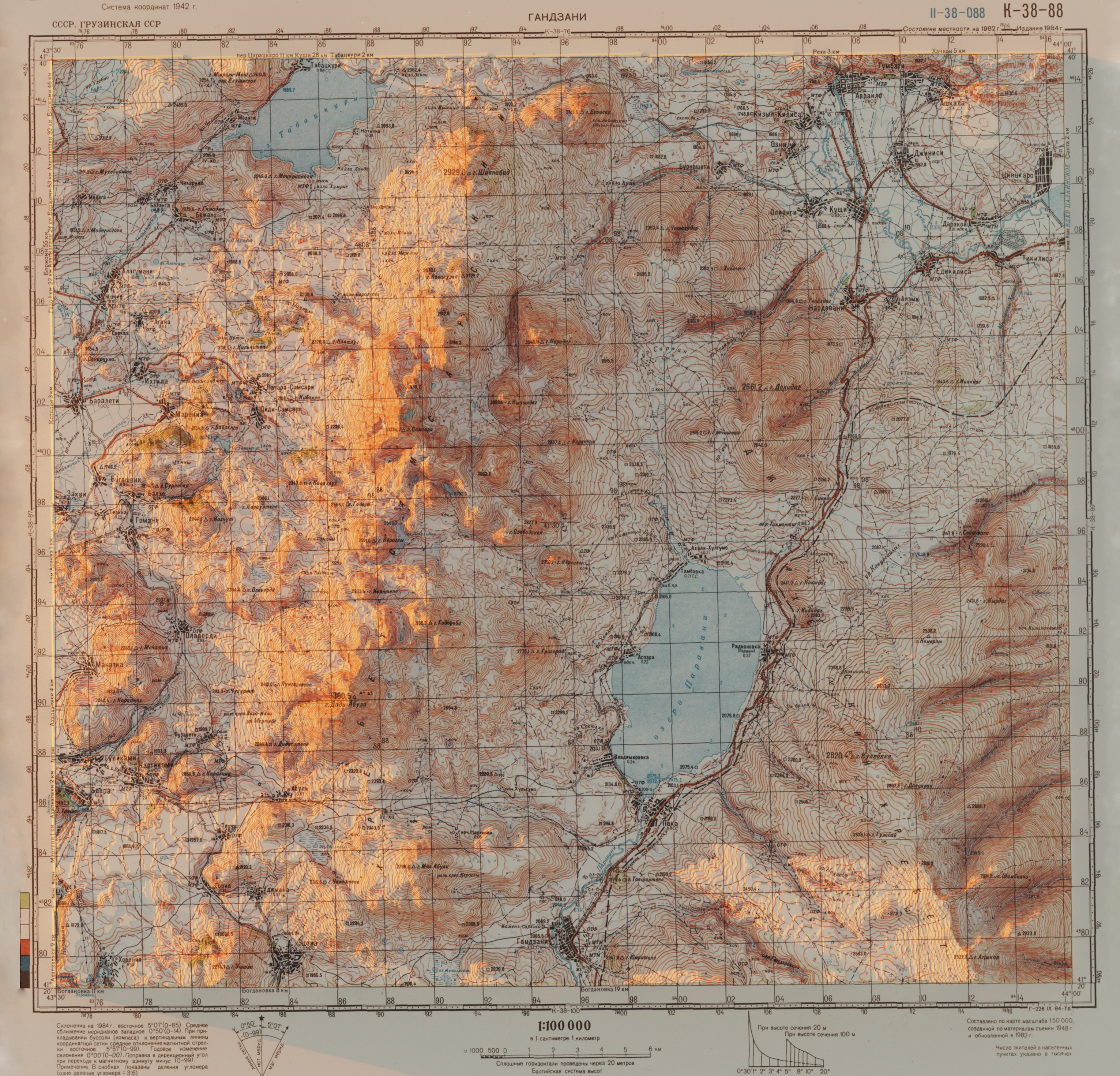
Data: SRTM Elevation, David Rumsey Map Collection, NAPR, maps.vlasenko.net